47 & 49 Appletongate
Introduction
The photograph on this page of 47 & 49 Appletongate by Alan Murray-Rust as part of the Geograph project.
The Geograph project started in 2005 with the aim of publishing, organising and preserving representative images for every square kilometre of Great Britain, Ireland and the Isle of Man.

There are currently over 7.5m images from over 14,400 individuals and you can help contribute to the project by visiting https://www.geograph.org.uk
47 & 49 Appletongate
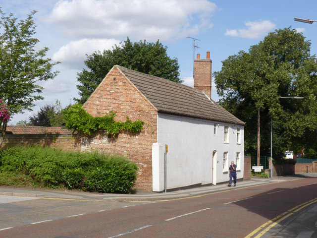
Image: © Alan Murray-Rust Taken: 31 Aug 2012
Former coach house and cottage from c.1800, now two dwellings. The coach access was from the yard at the rear of the building which accounts for the large blank wall. Listed Grade II.
Images are licensed for reuse under creativecommons.org/licenses/by-sa/2.0
Image Location
Latitude
53.077499
Longitude
-0.805616