Level crossing, Bushmills
Introduction
The photograph on this page of Level crossing, Bushmills by Albert Bridge as part of the Geograph project.
The Geograph project started in 2005 with the aim of publishing, organising and preserving representative images for every square kilometre of Great Britain, Ireland and the Isle of Man.

There are currently over 7.5m images from over 14,400 individuals and you can help contribute to the project by visiting https://www.geograph.org.uk
Level crossing, Bushmills
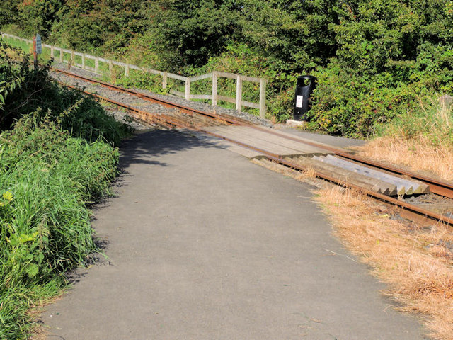
Image: © Albert Bridge Taken: 2 Sep 2012
Shortly after departure from Bushmills the Giant’s Causeway and Bushmills Railway crosses a public path (also part of national cycle Network route no 93) by this level crossing. The station is out of picture to the right.
Images are licensed for reuse under creativecommons.org/licenses/by-sa/2.0
Image Location
Latitude
55.208187
Longitude
-6.530493