Apples and Cables
Introduction
The photograph on this page of Apples and Cables by Des Blenkinsopp as part of the Geograph project.
The Geograph project started in 2005 with the aim of publishing, organising and preserving representative images for every square kilometre of Great Britain, Ireland and the Isle of Man.

There are currently over 7.5m images from over 14,400 individuals and you can help contribute to the project by visiting https://www.geograph.org.uk
Apples and Cables
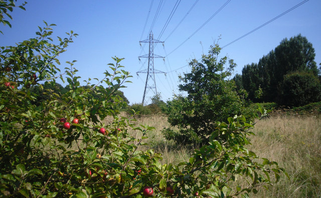
Image: © Des Blenkinsopp Taken: 3 Sep 2012
Between the houses on Westbury Road and the Sandy Lodge Golf Course is a strip of vacant land beneath this cable way. With long grass and self set trees and bushes it is also the route for the London Loop Path.
Images are licensed for reuse under creativecommons.org/licenses/by-sa/2.0
Image Location
Latitude
51.625603
Longitude
-0.424726