Umborne Institute Hall
Introduction
The photograph on this page of Umborne Institute Hall by Derek Harper as part of the Geograph project.
The Geograph project started in 2005 with the aim of publishing, organising and preserving representative images for every square kilometre of Great Britain, Ireland and the Isle of Man.

There are currently over 7.5m images from over 14,400 individuals and you can help contribute to the project by visiting https://www.geograph.org.uk
Umborne Institute Hall
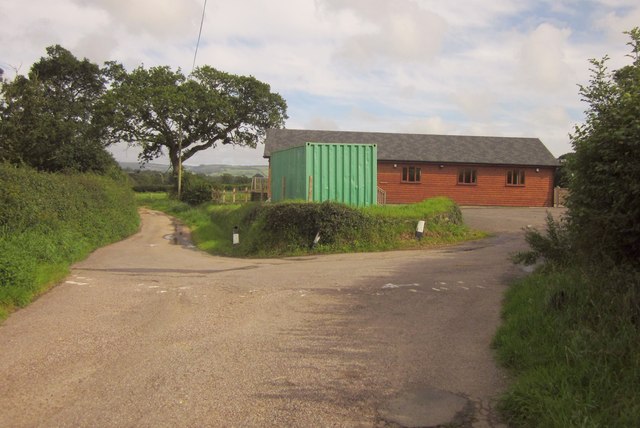
Image: © Derek Harper Taken: 28 Aug 2012
Not the container, but the building behind it, which was opened in October 2011, after the removal of the Quonset Hut which had stood here for the previous 62 years http://umborne.org/2011/10/umborne-hall-annual-report-2010-21011/ . This is at a lane junction; the road behind the camera is a dead end leading to Big Umbourne.
Images are licensed for reuse under creativecommons.org/licenses/by-sa/2.0
Image Location
Latitude
50.766914
Longitude
-3.08401