Blandford Camp
Introduction
The photograph on this page of Blandford Camp by Brian Ironside as part of the Geograph project.
The Geograph project started in 2005 with the aim of publishing, organising and preserving representative images for every square kilometre of Great Britain, Ireland and the Isle of Man.

There are currently over 7.5m images from over 14,400 individuals and you can help contribute to the project by visiting https://www.geograph.org.uk
Blandford Camp
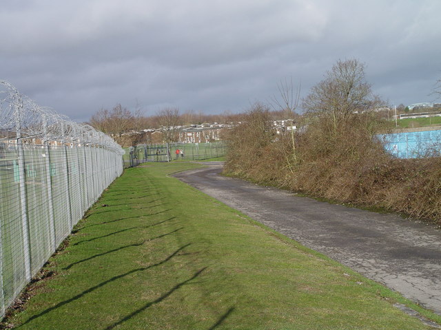
Image: © Brian Ironside Taken: 14 Jan 2007
View to rear gate of the camp. The footpath used to run up through the camp but is now diverted around the perimeter fence
Images are licensed for reuse under creativecommons.org/licenses/by-sa/2.0
Image Location
Latitude
50.871898
Longitude
-2.109805