Easy Bridge
Introduction
The photograph on this page of Easy Bridge by Derek Harper as part of the Geograph project.
The Geograph project started in 2005 with the aim of publishing, organising and preserving representative images for every square kilometre of Great Britain, Ireland and the Isle of Man.

There are currently over 7.5m images from over 14,400 individuals and you can help contribute to the project by visiting https://www.geograph.org.uk
Easy Bridge
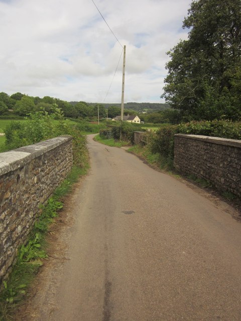
Image: © Derek Harper Taken: 28 Aug 2012
Lodge Lane crosses Image] and runs across the Umborne Brook flood plain. Just past the house in the background it passes beneath the Waterloo-Exeter railway line.
Images are licensed for reuse under creativecommons.org/licenses/by-sa/2.0
Image Location
Latitude
50.766506
Longitude
-3.079463