Umborne Brook
Introduction
The photograph on this page of Umborne Brook by Derek Harper as part of the Geograph project.
The Geograph project started in 2005 with the aim of publishing, organising and preserving representative images for every square kilometre of Great Britain, Ireland and the Isle of Man.

There are currently over 7.5m images from over 14,400 individuals and you can help contribute to the project by visiting https://www.geograph.org.uk
Umborne Brook
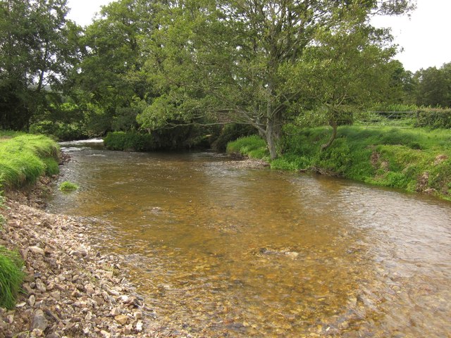
Image: © Derek Harper Taken: 28 Aug 2012
Looking upstream from Shute Footpath 8 below Easy Bridge. The turbulent water below the weir at the bridge can be glimpsed at the bend on the left.
Images are licensed for reuse under creativecommons.org/licenses/by-sa/2.0
Image Location
Latitude
50.766416
Longitude
-3.079461