Firebrand on the corner of High Street and St Thomas?s Street, Winchelsea
Introduction
The photograph on this page of Firebrand on the corner of High Street and St Thomas?s Street, Winchelsea by PAUL FARMER as part of the Geograph project.
The Geograph project started in 2005 with the aim of publishing, organising and preserving representative images for every square kilometre of Great Britain, Ireland and the Isle of Man.

There are currently over 7.5m images from over 14,400 individuals and you can help contribute to the project by visiting https://www.geograph.org.uk
Firebrand on the corner of High Street and St Thomas?s Street, Winchelsea
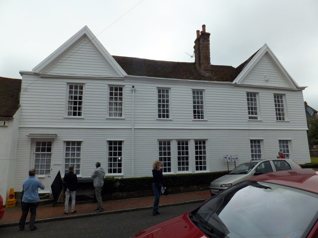
Image: © PAUL FARMER Taken: 2 Sep 2012
The cellar of this house is shown here: http://www.geograph.org.uk/photo/3111697
Images are licensed for reuse under creativecommons.org/licenses/by-sa/2.0
Image Location
Latitude
50.924583
Longitude
0.709926