Path at Lower Stoneylow Farm
Introduction
The photograph on this page of Path at Lower Stoneylow Farm by Glyn Baker as part of the Geograph project.
The Geograph project started in 2005 with the aim of publishing, organising and preserving representative images for every square kilometre of Great Britain, Ireland and the Isle of Man.

There are currently over 7.5m images from over 14,400 individuals and you can help contribute to the project by visiting https://www.geograph.org.uk
Path at Lower Stoneylow Farm
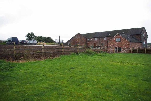
Image: © Glyn Baker Taken: 2 Sep 2012
The path passes over the fence and across the newly seeded lawn. I bet the residents don't get piles of hand delivered fliers for the local burger bars and curry houses!
Images are licensed for reuse under creativecommons.org/licenses/by-sa/2.0
Image Location
Latitude
52.992013
Longitude
-2.314746