Moored Narrowboats at Maesbury Marsh
Introduction
The photograph on this page of Moored Narrowboats at Maesbury Marsh by Ian Murfitt as part of the Geograph project.
The Geograph project started in 2005 with the aim of publishing, organising and preserving representative images for every square kilometre of Great Britain, Ireland and the Isle of Man.

There are currently over 7.5m images from over 14,400 individuals and you can help contribute to the project by visiting https://www.geograph.org.uk
Moored Narrowboats at Maesbury Marsh
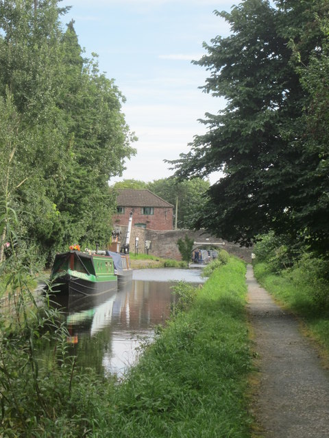
Image: © Ian Murfitt Taken: 1 Sep 2012
The building in the background is the Navigation Inn at Maesbury Marsh on the restored navigable section of the Montgomery Canal
Images are licensed for reuse under creativecommons.org/licenses/by-sa/2.0
Image Location
Latitude
52.818051
Longitude
-3.020833