Panteg Independent chapel
Introduction
The photograph on this page of Panteg Independent chapel by Natasha Ceridwen de Chroustchoff as part of the Geograph project.
The Geograph project started in 2005 with the aim of publishing, organising and preserving representative images for every square kilometre of Great Britain, Ireland and the Isle of Man.

There are currently over 7.5m images from over 14,400 individuals and you can help contribute to the project by visiting https://www.geograph.org.uk
Panteg Independent chapel
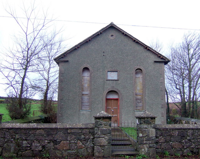
Image: © Natasha Ceridwen de Chroustchoff Taken: 13 Jan 2007
Small, disused non-conformist chapel with boarded up windows, standing beside the A487 a few miles west of Goodwick and just beyond the roadside hamlet of Panteg. It's just possible to make out the date 1863 on the plaque.
Images are licensed for reuse under creativecommons.org/licenses/by-sa/2.0
Image Location
Latitude
51.97522
Longitude
-5.02036