London Road, Dover
Introduction
The photograph on this page of London Road, Dover by John Baker as part of the Geograph project.
The Geograph project started in 2005 with the aim of publishing, organising and preserving representative images for every square kilometre of Great Britain, Ireland and the Isle of Man.

There are currently over 7.5m images from over 14,400 individuals and you can help contribute to the project by visiting https://www.geograph.org.uk
London Road, Dover
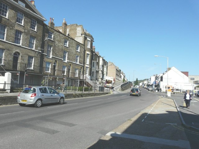
Image: © John Baker Taken: 31 Aug 2012
The edge of the pavement on the left side of the road has a railing along it to prevent pedestrians falling into the road. A removal van is parked on a one-way road along which one can gain access to Anstee Road, Bartholomew Street, Erith Street, George Street and Shooter’s Hill. A set of traffic lights, at the end of this raised section of road, was installed to allow safe vehicular access onto the main thoroughfare.
Images are licensed for reuse under creativecommons.org/licenses/by-sa/2.0
Image Location


Leaflet Map data © OpenStreetMap
Latitude
51.132199
Longitude
1.303185