Entrance to Horton Hall
Introduction
The photograph on this page of Entrance to Horton Hall by David Marten as part of the Geograph project.
The Geograph project started in 2005 with the aim of publishing, organising and preserving representative images for every square kilometre of Great Britain, Ireland and the Isle of Man.

There are currently over 7.5m images from over 14,400 individuals and you can help contribute to the project by visiting https://www.geograph.org.uk
Entrance to Horton Hall
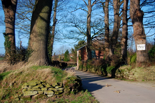
Image: © David Marten Taken: 14 Jan 2007
Footpath ends at this entrance to Horton Hall. The Hall is out of shot on the right and the road continues past workshops, which can be seen on the right and onwards to farm buildings.
Images are licensed for reuse under creativecommons.org/licenses/by-sa/2.0
Image Location


Leaflet Map data © OpenStreetMap
Latitude
53.212583
Longitude
-2.758551