Newfield Lane
Introduction
The photograph on this page of Newfield Lane by Simon Carey as part of the Geograph project.
The Geograph project started in 2005 with the aim of publishing, organising and preserving representative images for every square kilometre of Great Britain, Ireland and the Isle of Man.

There are currently over 7.5m images from over 14,400 individuals and you can help contribute to the project by visiting https://www.geograph.org.uk
Newfield Lane
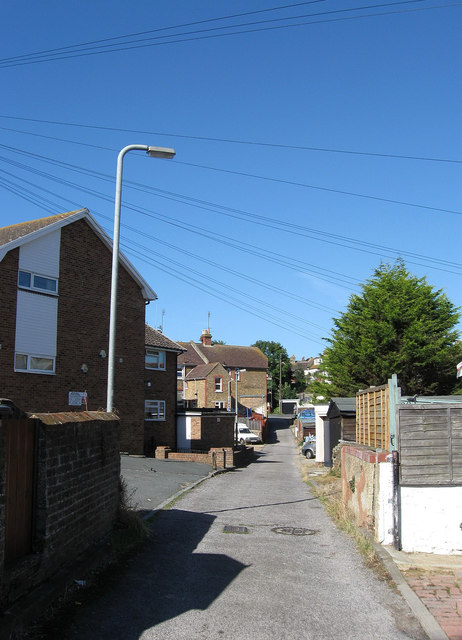
Image: © Simon Carey Taken: 31 Aug 2012
Small alley that runs between Image and Image though it was only given the name once Canon Court on the right was built. Otherwise it mainly serves the rear of properties in the above roads along with Brighton Road.
Images are licensed for reuse under creativecommons.org/licenses/by-sa/2.0
Image Location
Latitude
50.793331
Longitude
0.044889