Bay Vue Road
Introduction
The photograph on this page of Bay Vue Road by Simon Carey as part of the Geograph project.
The Geograph project started in 2005 with the aim of publishing, organising and preserving representative images for every square kilometre of Great Britain, Ireland and the Isle of Man.

There are currently over 7.5m images from over 14,400 individuals and you can help contribute to the project by visiting https://www.geograph.org.uk
Bay Vue Road
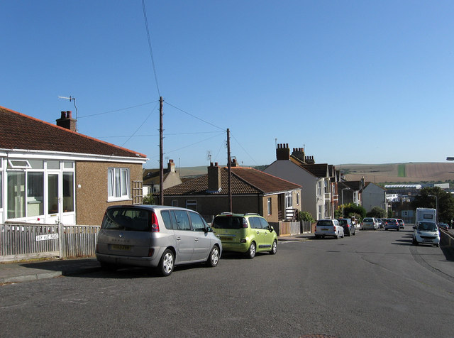
Image: © Simon Carey Taken: 31 Aug 2012
Running downhill from the point it connects with Western Road and the junction of Hill Crest Road when it becomes Hillside for the rest of its journey down to South Road. It originates from the first decade of the 20th century when it was known as Bay View which was changed to Bay Vue during the 1930s and the Road added after the Second World War. The houses on the left seem to be prefabs from the immediate postwar era.
Images are licensed for reuse under creativecommons.org/licenses/by-sa/2.0
Image Location
Latitude
50.791362
Longitude
0.049486