The Watermill and 69/71Millgate
Introduction
The photograph on this page of The Watermill and 69/71Millgate by Alan Murray-Rust as part of the Geograph project.
The Geograph project started in 2005 with the aim of publishing, organising and preserving representative images for every square kilometre of Great Britain, Ireland and the Isle of Man.

There are currently over 7.5m images from over 14,400 individuals and you can help contribute to the project by visiting https://www.geograph.org.uk
The Watermill and 69/71Millgate
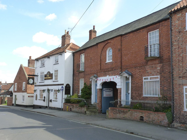
Image: © Alan Murray-Rust Taken: 31 Aug 2012
An unusual pair of houses, clearly designed to appear as a single entity with the carriage drive archway as the central feature. Late 18th century, Listed Grade II. The Watermill public house, beyond, is slightly later (early 19th century) and is also Listed Grade II.
Images are licensed for reuse under creativecommons.org/licenses/by-sa/2.0
Image Location
Latitude
53.073661
Longitude
-0.817365