Vehicular access to the parish cemetery
Introduction
The photograph on this page of Vehicular access to the parish cemetery by Alan Walker as part of the Geograph project.
The Geograph project started in 2005 with the aim of publishing, organising and preserving representative images for every square kilometre of Great Britain, Ireland and the Isle of Man.

There are currently over 7.5m images from over 14,400 individuals and you can help contribute to the project by visiting https://www.geograph.org.uk
Vehicular access to the parish cemetery
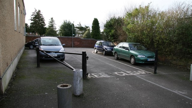
Image: © Alan Walker Taken: 12 Jan 2007
The building on the left is the Image The roadway shown in the photograph provides vehicular access to the Image It is also a footpath leading to Queensway. Behind the viewpoint is Church Street.
Images are licensed for reuse under creativecommons.org/licenses/by-sa/2.0
Image Location
Latitude
53.156155
Longitude
-1.368282