Towards Bryn Cogail
Introduction
The photograph on this page of Towards Bryn Cogail by DS Pugh as part of the Geograph project.
The Geograph project started in 2005 with the aim of publishing, organising and preserving representative images for every square kilometre of Great Britain, Ireland and the Isle of Man.

There are currently over 7.5m images from over 14,400 individuals and you can help contribute to the project by visiting https://www.geograph.org.uk
Towards Bryn Cogail
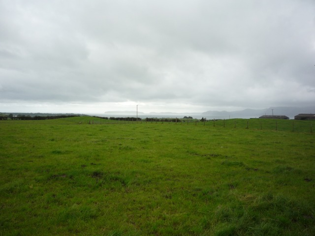
Image: © DS Pugh Taken: 30 Aug 2012
Looking across towards the Menai Strait, separating Anglesey from the mainland.
Images are licensed for reuse under creativecommons.org/licenses/by-sa/2.0
Image Location
Latitude
53.282855
Longitude
-4.127049