Watery Lane
Introduction
The photograph on this page of Watery Lane by Derek Harper as part of the Geograph project.
The Geograph project started in 2005 with the aim of publishing, organising and preserving representative images for every square kilometre of Great Britain, Ireland and the Isle of Man.

There are currently over 7.5m images from over 14,400 individuals and you can help contribute to the project by visiting https://www.geograph.org.uk
Watery Lane
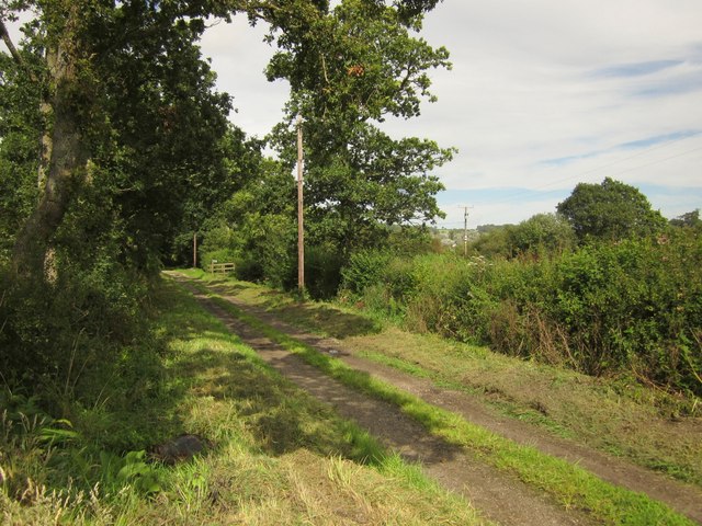
Image: © Derek Harper Taken: 28 Aug 2012
The green lane is about to live up to its name as it crosses the flood plain of the Umborne Brook valley. However, the little timber bridge between the telegraph poles is crossed by Shute Footpath 7, which helps avoid the worst of the flood. This was taken from the same spot as Image
Images are licensed for reuse under creativecommons.org/licenses/by-sa/2.0
Image Location
Latitude
50.758917
Longitude
-3.073475