Tritchmarsh
Introduction
The photograph on this page of Tritchmarsh by Derek Harper as part of the Geograph project.
The Geograph project started in 2005 with the aim of publishing, organising and preserving representative images for every square kilometre of Great Britain, Ireland and the Isle of Man.

There are currently over 7.5m images from over 14,400 individuals and you can help contribute to the project by visiting https://www.geograph.org.uk
Tritchmarsh
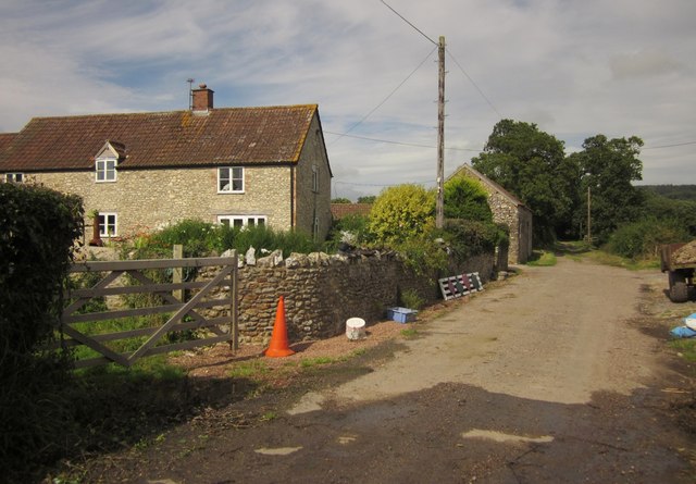
Image: © Derek Harper Taken: 28 Aug 2012
The public road section of Watery Lane ends as the lane passes this farm in the Umborne Brook valley, but the lane continues as a green lane with public access towards Lexhayne Mill, giving access to footpaths.
Images are licensed for reuse under creativecommons.org/licenses/by-sa/2.0
Image Location
Latitude
50.758554
Longitude
-3.073892