Duck Pond
Introduction
The photograph on this page of Duck Pond by John Topping as part of the Geograph project.
The Geograph project started in 2005 with the aim of publishing, organising and preserving representative images for every square kilometre of Great Britain, Ireland and the Isle of Man.

There are currently over 7.5m images from over 14,400 individuals and you can help contribute to the project by visiting https://www.geograph.org.uk
Duck Pond
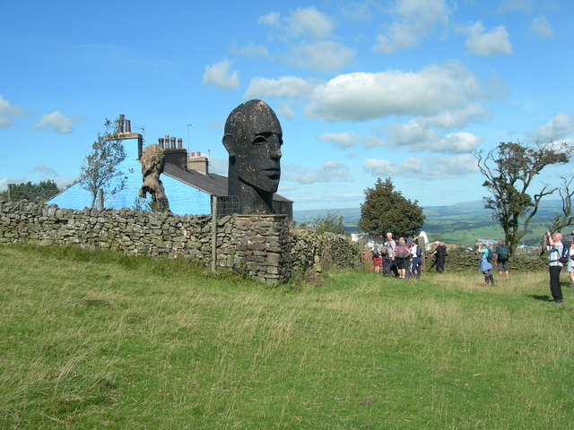
Image: © John Topping Taken: 10 Sep 2009
With fellow walkers on a guided walk from the Pendle Walking Festival 2009 (White Moor and Weets) led by Mr Roger Haythornthwaite. Nice walk on a grand day.
Images are licensed for reuse under creativecommons.org/licenses/by-sa/2.0
Image Location
Latitude
53.897933
Longitude
-2.20632