Rutland Centre, Halford Street, Leicester
Introduction
The photograph on this page of Rutland Centre, Halford Street, Leicester by Stephen Richards as part of the Geograph project.
The Geograph project started in 2005 with the aim of publishing, organising and preserving representative images for every square kilometre of Great Britain, Ireland and the Isle of Man.

There are currently over 7.5m images from over 14,400 individuals and you can help contribute to the project by visiting https://www.geograph.org.uk
Rutland Centre, Halford Street, Leicester
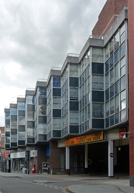
Image: © Stephen Richards Taken: 24 Aug 2011
A medium-sized 1960s development incorporating shops, curtain-walled offices and car park. The office bays project in line with the road creating something similar to a saw-tooth effect.
Images are licensed for reuse under creativecommons.org/licenses/by-sa/2.0
Image Location
Latitude
52.635042
Longitude
-1.128306