Sling Common Junction
Introduction
The photograph on this page of Sling Common Junction by Gordon Griffiths as part of the Geograph project.
The Geograph project started in 2005 with the aim of publishing, organising and preserving representative images for every square kilometre of Great Britain, Ireland and the Isle of Man.

There are currently over 7.5m images from over 14,400 individuals and you can help contribute to the project by visiting https://www.geograph.org.uk
Sling Common Junction
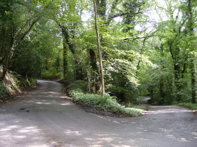
Image: © Gordon Griffiths Taken: 26 Aug 2012
The Shut Mill Lane view in the Clent Hills, Worcestershire.
Images are licensed for reuse under creativecommons.org/licenses/by-sa/2.0
Image Location
Latitude
52.399898
Longitude
-2.079028