Hope Town Park
Introduction
The photograph on this page of Hope Town Park by Bob Embleton as part of the Geograph project.
The Geograph project started in 2005 with the aim of publishing, organising and preserving representative images for every square kilometre of Great Britain, Ireland and the Isle of Man.

There are currently over 7.5m images from over 14,400 individuals and you can help contribute to the project by visiting https://www.geograph.org.uk
Hope Town Park
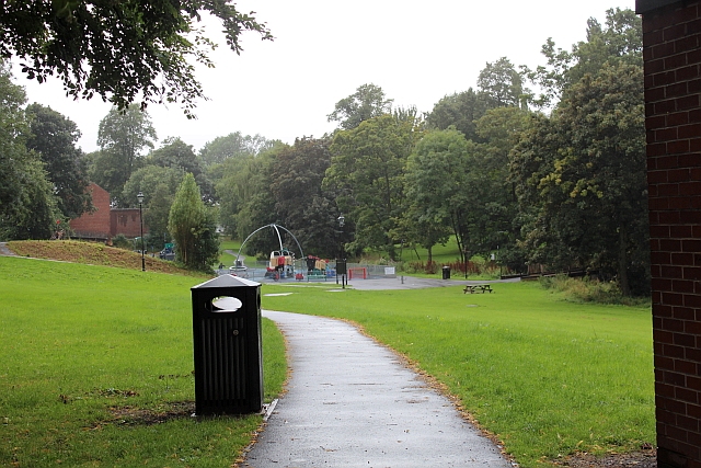
Image: © Bob Embleton Taken: 30 Aug 2012
A green lung, an open space very close to rows and rows of terraced houses without gardens. Occupying the low land of Brinkburn Dene through which flows West Brook - a tributary of the River Skerne. The land is devoid of housing probably because of the threat of flooding.
Images are licensed for reuse under creativecommons.org/licenses/by-sa/2.0
Image Location
Latitude
54.534163
Longitude
-1.562626