Footpath, Harbour Heights
Introduction
The photograph on this page of Footpath, Harbour Heights by Simon Carey as part of the Geograph project.
The Geograph project started in 2005 with the aim of publishing, organising and preserving representative images for every square kilometre of Great Britain, Ireland and the Isle of Man.

There are currently over 7.5m images from over 14,400 individuals and you can help contribute to the project by visiting https://www.geograph.org.uk
Footpath, Harbour Heights
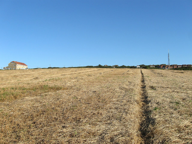
Image: © Simon Carey Taken: 31 Aug 2012
Not a public one but well used by locals and marked out by the farmer. It links the cliff top at Old Nore Point to Pevensey Road and is one of a number that follow the edges of the field in the vicinity. To the left is Lyndale and Westdean the only houses on Westdean Avenue.
Images are licensed for reuse under creativecommons.org/licenses/by-sa/2.0
Image Location
Latitude
50.78297
Longitude
0.035641