Pollution at Fosse Bridge
Introduction
The photograph on this page of Pollution at Fosse Bridge by Nigel Mykura as part of the Geograph project.
The Geograph project started in 2005 with the aim of publishing, organising and preserving representative images for every square kilometre of Great Britain, Ireland and the Isle of Man.

There are currently over 7.5m images from over 14,400 individuals and you can help contribute to the project by visiting https://www.geograph.org.uk
Pollution at Fosse Bridge
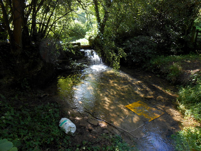
Image: © Nigel Mykura Taken: 20 Aug 2012
This stream flows under the Fosse Way where the Roman road crosses a deep valley. There is a small weir which was originally the off-take for Gatcombe Mill further down the stream. Rubbish has been thrown into the stream from the bridge from which this photo was taken.
Images are licensed for reuse under creativecommons.org/licenses/by-sa/2.0
Image Location
Latitude
51.508428
Longitude
-2.237841