Cudham Road
Introduction
The photograph on this page of Cudham Road by Ian Capper as part of the Geograph project.
The Geograph project started in 2005 with the aim of publishing, organising and preserving representative images for every square kilometre of Great Britain, Ireland and the Isle of Man.

There are currently over 7.5m images from over 14,400 individuals and you can help contribute to the project by visiting https://www.geograph.org.uk
Cudham Road
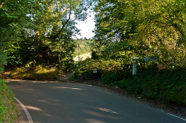
Image: © Ian Capper Taken: 20 Aug 2012
Cudham Road is what the sign on the right of the photo shows, although maps show it as Hang Grove Hill to the north of here or Downe Road to the south of here. The footpath through the gap in the hedge cuts the corner of the road and leads towards Cudham village. On the right of the photo is Coal Tax Post no 189 (see Image).
Images are licensed for reuse under creativecommons.org/licenses/by-sa/2.0
Image Location


Leaflet Map data © OpenStreetMap
Latitude
51.326059
Longitude
0.063475