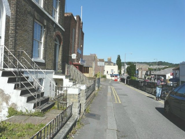
Road above London Road, Dover
Introduction
The photograph on this page of Road above London Road, Dover by John Baker as part of the Geograph project.
The Geograph project started in 2005 with the aim of publishing, organising and preserving representative images for every square kilometre of Great Britain, Ireland and the Isle of Man.
There are currently over 7.5m images from over 14,400 individuals and you can help contribute to the project by visiting https://www.geograph.org.uk

Image: © John Baker Taken: 31 Aug 2012
The houses on the northwest side of London Road were built on the valley side of the River Dour, which is why, in this case, the road is above the level of the main thoroughfare. This road, operated as a one-way system, in a northerly direction, and serving as an exit for Anstee Road, Herbert Street, Erith Street, George Street, Shooter’s Hill and Victoria Street, has been provided with a set of traffic lights (seen in the distance) to allow safe vehicular access onto the main thoroughfare.

