The Solent Way (139)
Introduction
The photograph on this page of The Solent Way (139) by Shazz as part of the Geograph project.
The Geograph project started in 2005 with the aim of publishing, organising and preserving representative images for every square kilometre of Great Britain, Ireland and the Isle of Man.

There are currently over 7.5m images from over 14,400 individuals and you can help contribute to the project by visiting https://www.geograph.org.uk
The Solent Way (139)
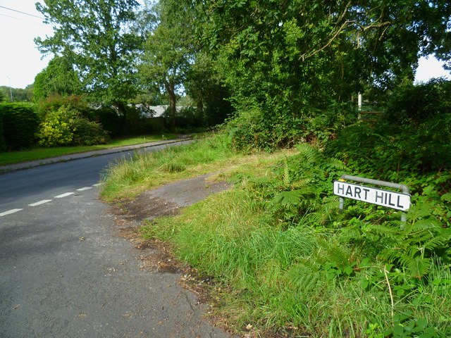
Image: © Shazz Taken: 31 Aug 2012
The Solent Way reaches the northern end of Hart Hill where it turns right along Frost Lane and from here road walking continues for over a mile to Hythe Pier.
Images are licensed for reuse under creativecommons.org/licenses/by-sa/2.0
Image Location
Latitude
50.858576
Longitude
-1.389729