2012 : North east from Denny Lane
Introduction
The photograph on this page of 2012 : North east from Denny Lane by Maurice Pullin as part of the Geograph project.
The Geograph project started in 2005 with the aim of publishing, organising and preserving representative images for every square kilometre of Great Britain, Ireland and the Isle of Man.

There are currently over 7.5m images from over 14,400 individuals and you can help contribute to the project by visiting https://www.geograph.org.uk
2012 : North east from Denny Lane
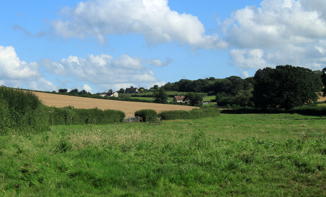
Image: © Maurice Pullin Taken: 20 Aug 2012
Pitts Lane is between the pasture and the wheatfield and Moorledge Road is beyond. The River Chew is in the valley having made a right turn at Chew Magna and is now heading for Stanton Drew and eventually Keynsham.
Images are licensed for reuse under creativecommons.org/licenses/by-sa/2.0
Image Location
Latitude
51.357478
Longitude
-2.606723