The stream from Chillington
Introduction
The photograph on this page of The stream from Chillington by Derek Harper as part of the Geograph project.
The Geograph project started in 2005 with the aim of publishing, organising and preserving representative images for every square kilometre of Great Britain, Ireland and the Isle of Man.

There are currently over 7.5m images from over 14,400 individuals and you can help contribute to the project by visiting https://www.geograph.org.uk
The stream from Chillington
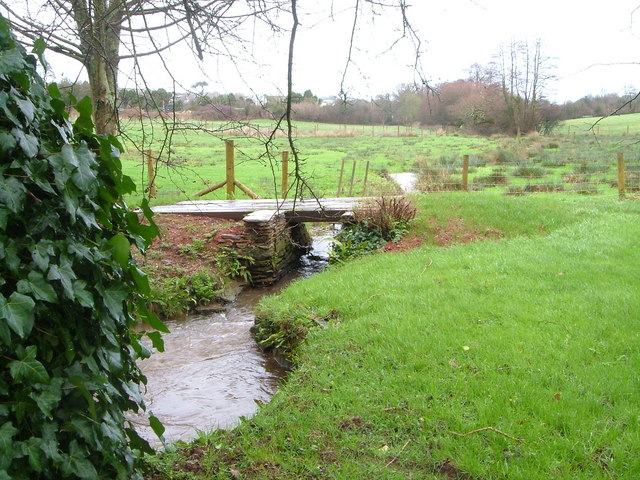
Image: © Derek Harper Taken: 13 Jan 2007
The stream (no name traced) flows west (towards the camera) on its way to Frogmore Creek. To the left of the trees is the local sewage works. Taken just north of Mill Farm.
Images are licensed for reuse under creativecommons.org/licenses/by-sa/2.0
Image Location
Latitude
50.270677
Longitude
-3.711047