St James' Street, Dover
Introduction
The photograph on this page of St James' Street, Dover by John Baker as part of the Geograph project.
The Geograph project started in 2005 with the aim of publishing, organising and preserving representative images for every square kilometre of Great Britain, Ireland and the Isle of Man.

There are currently over 7.5m images from over 14,400 individuals and you can help contribute to the project by visiting https://www.geograph.org.uk
St James' Street, Dover
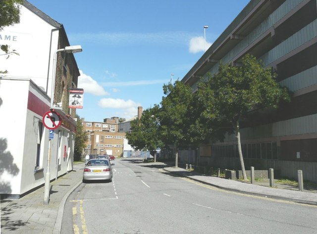
Image: © John Baker Taken: 31 Aug 2012
With The Lord Nelson public house on the left, on the corner of Flying Horse Lane, built on the site of a licensed lodging house that dated from, at least, 1805 and was destroyed by fire in 1872 http://www.dover-kent.com/Lord-Nelson.html Opposite the pub is a closed multi-storey carpark.
Images are licensed for reuse under creativecommons.org/licenses/by-sa/2.0
Image Location


Leaflet Map data © OpenStreetMap
Latitude
51.124772
Longitude
1.314519