Historic Corner of Beighton
Introduction
The photograph on this page of Historic Corner of Beighton by Jonathan Clitheroe as part of the Geograph project.
The Geograph project started in 2005 with the aim of publishing, organising and preserving representative images for every square kilometre of Great Britain, Ireland and the Isle of Man.

There are currently over 7.5m images from over 14,400 individuals and you can help contribute to the project by visiting https://www.geograph.org.uk
Historic Corner of Beighton
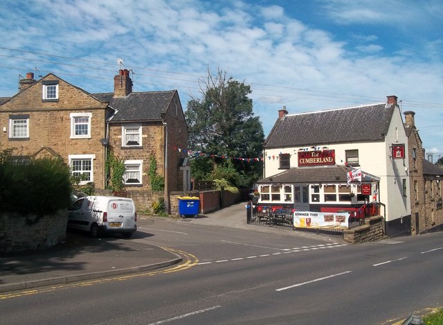
Image: © Jonathan Clitheroe Taken: 31 Aug 2012
High Street in Beighton seen here at the junction with Tye Road - an unmade and undoubtedly ancient thoroughfare leading to the parish church. The building on the left is the former Tye Farm and dairy.
Images are licensed for reuse under creativecommons.org/licenses/by-sa/2.0
Image Location
Latitude
53.346094
Longitude
-1.335588