Railway in the Rother Valley
Introduction
The photograph on this page of Railway in the Rother Valley by Graham Hogg as part of the Geograph project.
The Geograph project started in 2005 with the aim of publishing, organising and preserving representative images for every square kilometre of Great Britain, Ireland and the Isle of Man.

There are currently over 7.5m images from over 14,400 individuals and you can help contribute to the project by visiting https://www.geograph.org.uk
Railway in the Rother Valley
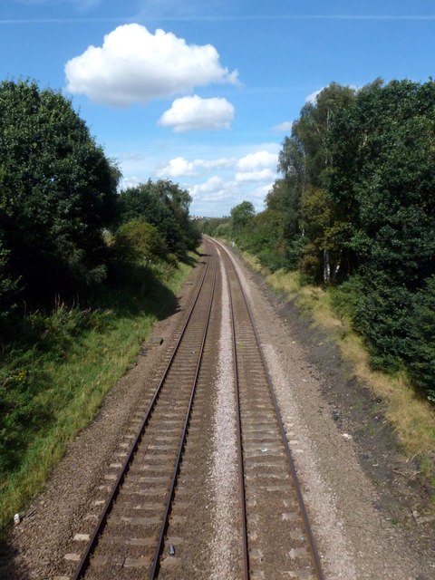
Image: © Graham Hogg Taken: 28 Aug 2012
Seen from the footbridge that carries the Trans Pennine Trail over the railway. This is a freight line but does occasionally get used by passenger trains diverted from the main line between Sheffield and Chesterfield.
Images are licensed for reuse under creativecommons.org/licenses/by-sa/2.0
Image Location


Leaflet Map data © OpenStreetMap
Latitude
53.338314
Longitude
-1.326697