Path to Pen-y-Parc
Introduction
The photograph on this page of Path to Pen-y-Parc by Michael Patterson as part of the Geograph project.
The Geograph project started in 2005 with the aim of publishing, organising and preserving representative images for every square kilometre of Great Britain, Ireland and the Isle of Man.

There are currently over 7.5m images from over 14,400 individuals and you can help contribute to the project by visiting https://www.geograph.org.uk
Path to Pen-y-Parc
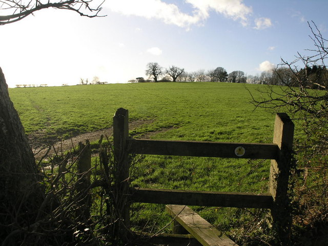
Image: © Michael Patterson Taken: 10 Jan 2007
The stile gives access from the road to a footpath that passes by Pen-y-Parc.
Images are licensed for reuse under creativecommons.org/licenses/by-sa/2.0
Image Location
Latitude
51.665562
Longitude
-2.931096