The Homestead
Introduction
The photograph on this page of The Homestead by Trevor Rickard as part of the Geograph project.
The Geograph project started in 2005 with the aim of publishing, organising and preserving representative images for every square kilometre of Great Britain, Ireland and the Isle of Man.

There are currently over 7.5m images from over 14,400 individuals and you can help contribute to the project by visiting https://www.geograph.org.uk
The Homestead
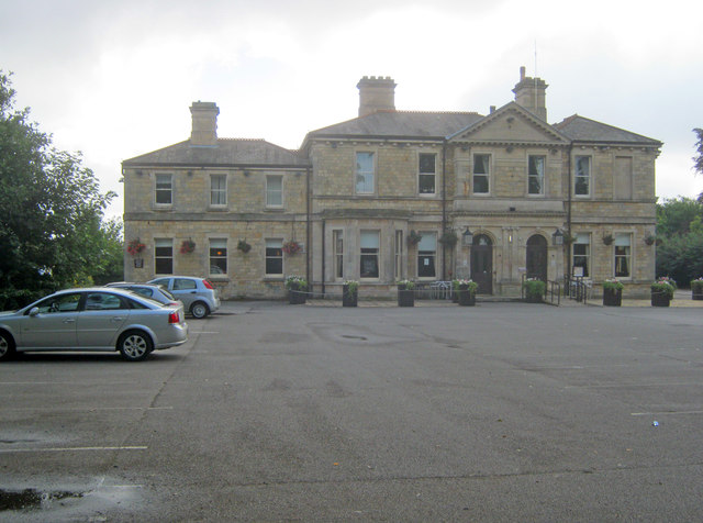
Image: © Trevor Rickard Taken: 5 Aug 2012
From the car park looking east to the Fayre and Square pub/restaurant building. Originally part of the county lunatic asylum complex built in 1852 (later became St John’s Hospital - see Image ), this grand house was the medical director’s residence. The building was converted into a public house in the late 1990s and is Grade II Listed.
Images are licensed for reuse under creativecommons.org/licenses/by-sa/2.0
Image Location
Latitude
53.198269
Longitude
-0.535343