Farmland at Whitehill
Introduction
The photograph on this page of Farmland at Whitehill by Billy McCrorie as part of the Geograph project.
The Geograph project started in 2005 with the aim of publishing, organising and preserving representative images for every square kilometre of Great Britain, Ireland and the Isle of Man.

There are currently over 7.5m images from over 14,400 individuals and you can help contribute to the project by visiting https://www.geograph.org.uk
Farmland at Whitehill
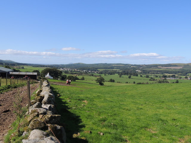
Image: © Billy McCrorie Taken: 30 Aug 2012
With view towards Dailly, off to the mid right in the woods is Dalquharran Castle, from the Barony hill trail.
Images are licensed for reuse under creativecommons.org/licenses/by-sa/2.0
Image Location


Leaflet Map data © OpenStreetMap
Latitude
55.277525
Longitude
-4.693142