2012 : North from a viewpoint on Denny Lane
Introduction
The photograph on this page of 2012 : North from a viewpoint on Denny Lane by Maurice Pullin as part of the Geograph project.
The Geograph project started in 2005 with the aim of publishing, organising and preserving representative images for every square kilometre of Great Britain, Ireland and the Isle of Man.

There are currently over 7.5m images from over 14,400 individuals and you can help contribute to the project by visiting https://www.geograph.org.uk
2012 : North from a viewpoint on Denny Lane
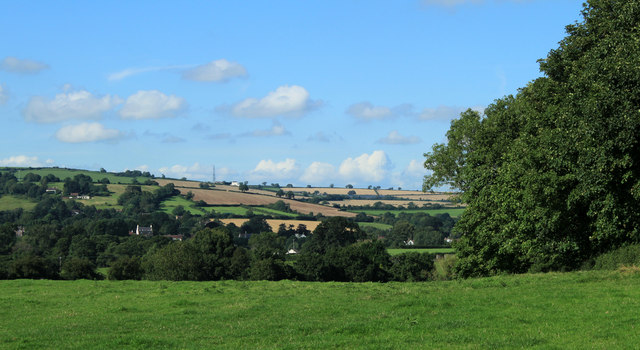
Image: © Maurice Pullin Taken: 20 Aug 2012
Denny Lane runs north from the northern end of the Chew Valley Lake to Chew Magna, bits of which are spread across the foreground. Beyond C.M. farmland rises to Dundry Hill. At the top of the hill it is just possible to see the square block of Homefield House near Rattledown Farm, Image gives a closer view.
Images are licensed for reuse under creativecommons.org/licenses/by-sa/2.0
Image Location


Leaflet Map data © OpenStreetMap
Latitude
51.353761
Longitude
-2.612561