Bellingham: Southend Lane
Introduction
The photograph on this page of Bellingham: Southend Lane by Dr Neil Clifton as part of the Geograph project.
The Geograph project started in 2005 with the aim of publishing, organising and preserving representative images for every square kilometre of Great Britain, Ireland and the Isle of Man.

There are currently over 7.5m images from over 14,400 individuals and you can help contribute to the project by visiting https://www.geograph.org.uk
Bellingham: Southend Lane
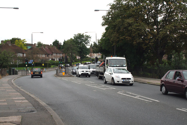
Image: © Dr Neil Clifton Taken: 30 Aug 2012
Looking west from the bridge over the Catford Loop railway line. This is the A2218. It is not the South Circular Road, but it might as well be, because a large number of drivers find that this is a better route, and use it instead, which means that Southend Lane is a very busy road. 'Lane' it certainly is not. If you looked at a very old map you might find that, two hundred or so years ago, it was really a lane.
Images are licensed for reuse under creativecommons.org/licenses/by-sa/2.0
Image Location
Latitude
51.426195
Longitude
-0.018327