Maize by the Aberhafesp Brook
Introduction
The photograph on this page of Maize by the Aberhafesp Brook by Penny Mayes as part of the Geograph project.
The Geograph project started in 2005 with the aim of publishing, organising and preserving representative images for every square kilometre of Great Britain, Ireland and the Isle of Man.

There are currently over 7.5m images from over 14,400 individuals and you can help contribute to the project by visiting https://www.geograph.org.uk
Maize by the Aberhafesp Brook
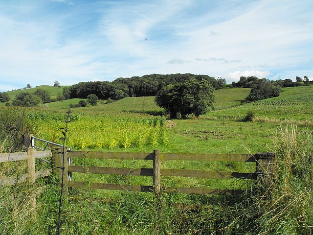
Image: © Penny Mayes Taken: 26 Aug 2012
The maize in the foreground has not done as well as the rest of the crop, it's much shorter and rather yellow. As can be seen in this shot taken two months earlier http://www.geograph.org.uk/photo/3100908 , the area close to the brook is somewhat wet and boggy which may account for the difference. Maybe if it hadn't been such a wet summer...
Images are licensed for reuse under creativecommons.org/licenses/by-sa/2.0
Image Location
Latitude
52.524663
Longitude
-3.356275