The White Hart, Mildenhall
Introduction
The photograph on this page of The White Hart, Mildenhall by Stephen McKay as part of the Geograph project.
The Geograph project started in 2005 with the aim of publishing, organising and preserving representative images for every square kilometre of Great Britain, Ireland and the Isle of Man.

There are currently over 7.5m images from over 14,400 individuals and you can help contribute to the project by visiting https://www.geograph.org.uk
The White Hart, Mildenhall
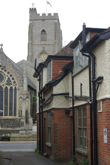
Image: © Stephen McKay Taken: 27 Aug 2012
Looking down the side of the White Hart from the car park to High Street and St Mary's Church.
Images are licensed for reuse under creativecommons.org/licenses/by-sa/2.0
Image Location
Latitude
52.34288
Longitude
0.509979