Sunnybank
Introduction
The photograph on this page of Sunnybank by Stanley Howe as part of the Geograph project.
The Geograph project started in 2005 with the aim of publishing, organising and preserving representative images for every square kilometre of Great Britain, Ireland and the Isle of Man.

There are currently over 7.5m images from over 14,400 individuals and you can help contribute to the project by visiting https://www.geograph.org.uk
Sunnybank
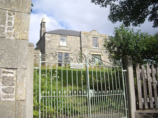
Image: © Stanley Howe Taken: 30 Aug 2012
A large house on A98, situated between Fordyce Parish Church (off left) and Pottsoy Episcopal Church (off left).
Images are licensed for reuse under creativecommons.org/licenses/by-sa/2.0
Image Location
Latitude
57.681136
Longitude
-2.694043