Newhaven Fire Station
Introduction
The photograph on this page of Newhaven Fire Station by Simon Carey as part of the Geograph project.
The Geograph project started in 2005 with the aim of publishing, organising and preserving representative images for every square kilometre of Great Britain, Ireland and the Isle of Man.

There are currently over 7.5m images from over 14,400 individuals and you can help contribute to the project by visiting https://www.geograph.org.uk
Newhaven Fire Station
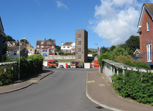
Image: © Simon Carey Taken: 26 Aug 2012
Located on Fort Road and opened in the 1970s to replace an older station in Meeching Road. Viewed from the new West Quay road with Fort Road in the foreground in front of the station.
Images are licensed for reuse under creativecommons.org/licenses/by-sa/2.0
Image Location


Leaflet Map data © OpenStreetMap
Latitude
50.790428
Longitude
0.051431