Triangular grass mound at a cycleway junction, Weston-super-Mare
Introduction
The photograph on this page of Triangular grass mound at a cycleway junction, Weston-super-Mare by Jaggery as part of the Geograph project.
The Geograph project started in 2005 with the aim of publishing, organising and preserving representative images for every square kilometre of Great Britain, Ireland and the Isle of Man.

There are currently over 7.5m images from over 14,400 individuals and you can help contribute to the project by visiting https://www.geograph.org.uk
Triangular grass mound at a cycleway junction, Weston-super-Mare
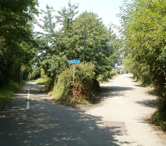
Image: © Jaggery Taken: 27 Jul 2011
The cycleway on the left is alongside the north side of the A370. The blue sign in the triangle shows the destinations ahead : town centre, Bournville, Uphill, Bleadon.
Images are licensed for reuse under creativecommons.org/licenses/by-sa/2.0
Image Location
Latitude
51.345151
Longitude
-2.935642