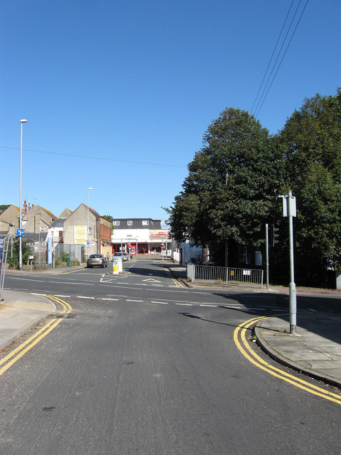
Meeching Road
Introduction
The photograph on this page of Meeching Road by Simon Carey as part of the Geograph project.
The Geograph project started in 2005 with the aim of publishing, organising and preserving representative images for every square kilometre of Great Britain, Ireland and the Isle of Man.
There are currently over 7.5m images from over 14,400 individuals and you can help contribute to the project by visiting https://www.geograph.org.uk

Image: © Simon Carey Taken: 26 Aug 2012
Meeching is the original name of Newhaven, the latter gradually taking over the name of the settlement from the 16th century onwards. This view takes in the crossing of South Way and looking towards its junction with High Street. Prior to the ring road being built in the 1970s the junction on the left was with Meeching Rise whilst on the right was the junction with Dacre Road in the middle of which stood the Newhaven Transport Memorial which was moved in 1977 to a spot by the river and then onto Image in the 1990s. Beyond the road junction where the trees are was once the site of the town's police station whilst on the left the cleared site was once a large house called Saxonholme which was demolished in 2006 and next door to that on the site of Image was the town's fire station.

