Hallgate Lane
Introduction
The photograph on this page of Hallgate Lane by Alan Walker as part of the Geograph project.
The Geograph project started in 2005 with the aim of publishing, organising and preserving representative images for every square kilometre of Great Britain, Ireland and the Isle of Man.

There are currently over 7.5m images from over 14,400 individuals and you can help contribute to the project by visiting https://www.geograph.org.uk
Hallgate Lane
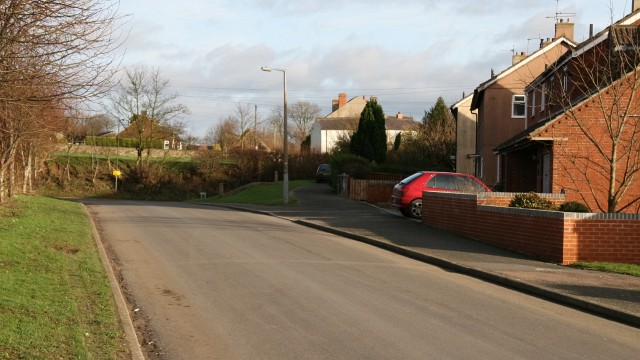
Image: © Alan Walker Taken: 12 Jan 2007
Hallgate Lane from near its junction to Image The Image at the end of the lane is, to the left, with Rupert Street, and, to the right with Bridge Street. On the right of this photograph are some prefabricated house built after the Second World War to house an increase in the mining workforce. Some of these houses have been purchased by their tenants and modernised (note the one, near left, that has been extended and externally clad). For another view of Hallgate Lane from behind this viewpoint, click here Image
Images are licensed for reuse under creativecommons.org/licenses/by-sa/2.0
Image Location
Latitude
53.160572
Longitude
-1.370611