Railway footbridge, Weston-super-Mare
Introduction
The photograph on this page of Railway footbridge, Weston-super-Mare by Jaggery as part of the Geograph project.
The Geograph project started in 2005 with the aim of publishing, organising and preserving representative images for every square kilometre of Great Britain, Ireland and the Isle of Man.

There are currently over 7.5m images from over 14,400 individuals and you can help contribute to the project by visiting https://www.geograph.org.uk
Railway footbridge, Weston-super-Mare
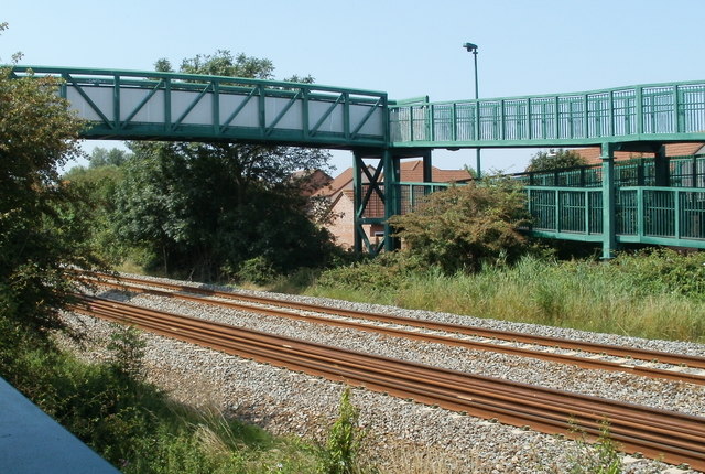
Image: © Jaggery Taken: 27 Jul 2011
The footbridge connects Worle Moor Road and Heligan Walk on the south side of the tracks with Blaisdon and Damson Road on the north side.
Images are licensed for reuse under creativecommons.org/licenses/by-sa/2.0
Image Location
Latitude
51.347598
Longitude
-2.93325