SW end of Bransby Way, Locking Castle, Weston-super-Mare
Introduction
The photograph on this page of SW end of Bransby Way, Locking Castle, Weston-super-Mare by Jaggery as part of the Geograph project.
The Geograph project started in 2005 with the aim of publishing, organising and preserving representative images for every square kilometre of Great Britain, Ireland and the Isle of Man.

There are currently over 7.5m images from over 14,400 individuals and you can help contribute to the project by visiting https://www.geograph.org.uk
SW end of Bransby Way, Locking Castle, Weston-super-Mare
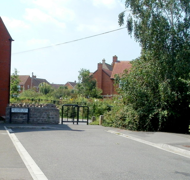
Image: © Jaggery Taken: 27 Jul 2011
Beyond the metal barriers at the SW end of Bransby Way is Moor Lane.
Images are licensed for reuse under creativecommons.org/licenses/by-sa/2.0
Image Location
Latitude
51.350409
Longitude
-2.918948