Shrewsbury Bow, Locking Castle, Weston-super-Mare
Introduction
The photograph on this page of Shrewsbury Bow, Locking Castle, Weston-super-Mare by Jaggery as part of the Geograph project.
The Geograph project started in 2005 with the aim of publishing, organising and preserving representative images for every square kilometre of Great Britain, Ireland and the Isle of Man.

There are currently over 7.5m images from over 14,400 individuals and you can help contribute to the project by visiting https://www.geograph.org.uk
Shrewsbury Bow, Locking Castle, Weston-super-Mare
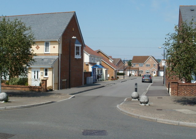
Image: © Jaggery Taken: 27 Jul 2011
Viewed from Bransby Way. That's not a typo for Row in the street name - it is Shrewsbury Bow, as shown in the street name signs, in all reference sources - and also in the name sign on the blue bus shelter ahead on the left.
Images are licensed for reuse under creativecommons.org/licenses/by-sa/2.0
Image Location
Latitude
51.352664
Longitude
-2.917988