Park Medical Practice
Introduction
The photograph on this page of Park Medical Practice by Neil Owen as part of the Geograph project.
The Geograph project started in 2005 with the aim of publishing, organising and preserving representative images for every square kilometre of Great Britain, Ireland and the Isle of Man.

There are currently over 7.5m images from over 14,400 individuals and you can help contribute to the project by visiting https://www.geograph.org.uk
Park Medical Practice
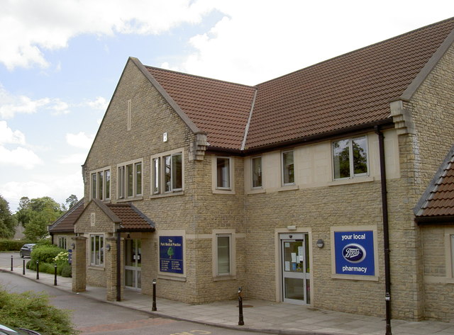
Image: © Neil Owen Taken: 30 Jul 2012
The modern medical centre on Cannard's Grave Road. See Image] for a look at the detail over the entrance.
Images are licensed for reuse under creativecommons.org/licenses/by-sa/2.0
Image Location
Latitude
51.186027
Longitude
-2.546806